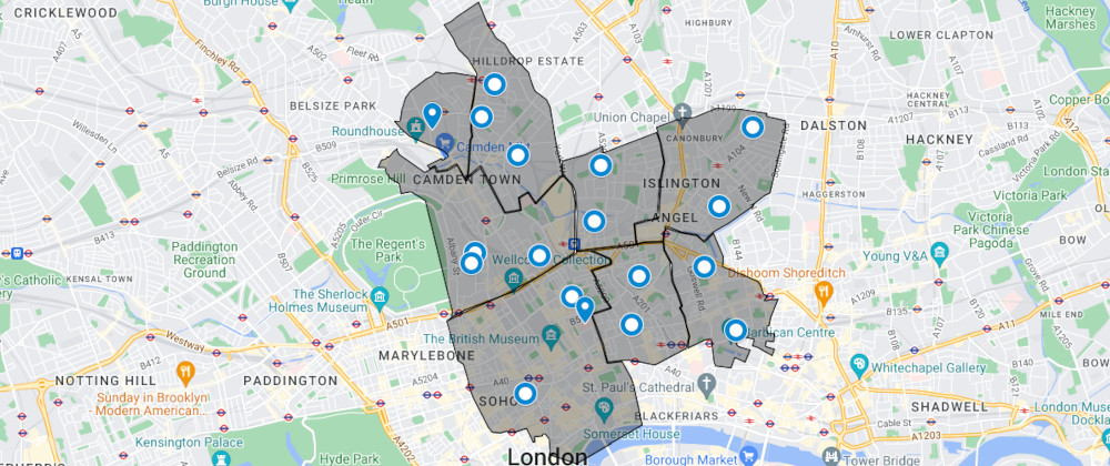
Webservice to check if a postal code belongs to any zone defined by a google maps polygon.
Written in Ruby (thin + lighttpd + sinatra), using Google Maps API to find a postal code’s geolocation. Map with zones parsed from a kml file.
working with a best friend from a different area was fun, realized how much we can make someone else life easier with a bit of tech and ingenuity